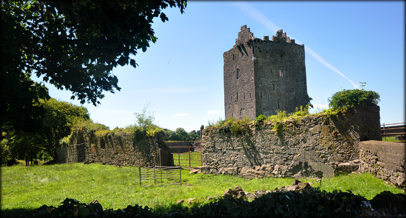
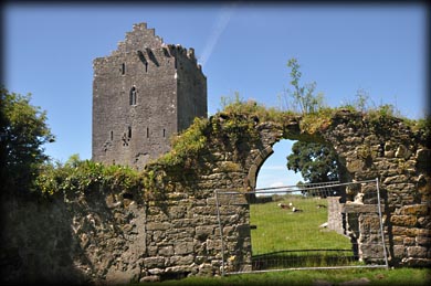
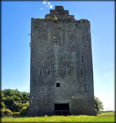
Lackeen Castle 16th century tower house This four storey, 16th century, O'Kennedy castle is situated on a rocky outcrop three kilometres east of Lorrha. The castle was held by Brian Ua Cinneide Fionn, Chieftain of Ormond who died in 1588. Luckily for me I bumped into the landowner as he was preparing to drive away. After receiving permission to cross the farmland I entered the bawn through a farm gate in the east wall. The original arched gateway in the south wall was blocked, see bottom image. There is another smaller gate in the west wall of the bawn. Apart from a number of calves grazing around the castle, I had the place to myself.
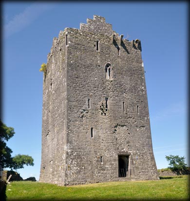
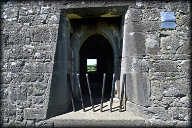
The tower house is entered through an unusual inset doorway; that was protected by murder hole on the external face and a machicolation at wall-walk level, only the corbels stones of the latter survive. In the west wall of the ground floor is a large niche, which could be easily mistaken for a fireplace. A mural stair leads to the first floor. Spiral stairs in the Northeast corner give access to the next floor. The wall-walk is accessed via a stair leading from a window embrasure on the second floor. |
|
|
 |
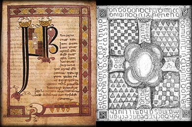
During restoration work at the castle in the 18th century, John O'Kennedy is credited with finding the Stowe Missal hidden in the walls. This is an illuminated 8th century manuscript. It is believed the mass-book was in use at Lorrha during the 11th century. It was discovered inside a bejeweled metal box. The missal is kept in the Royal Irish Academy and the shrine, also known as the Cumdach-an ornamented box used as a reliquary, is on display in the National Museum. The Shrine of the Stowe Missal was made in the 11th century and refurbished in the 14th century. Pictured below centre, is an illuminated page from the Missal and below right, a superb drawing of the lower face of the Cumdach, by the 19th century antiquarian Margaret Stokes. |
|
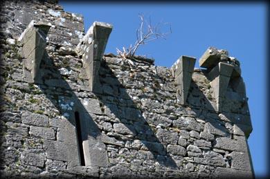
Remains of the machicolation |
Stowe Missal |
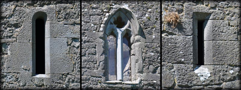
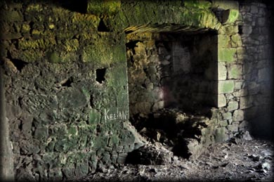
Wall niche |
Entrance |
Situated: From Lorrha head SW past the Augustinian Abbey. After 3.7 kilometres turn left onto the L1080. Then after 450 metres turn left again . The tower house is 500 metres down here on your left. Discovery Map 53: M 9505 0421. Last Visit: Jul 2016. Longitude: 8° 4' 26" W Latitude: 53° 5' 19" N Pics Jim Dempsey. |
|