Taghmon
St Munna's Fortified Church and Sheela na Gig
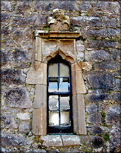
The fortified church at Taghmon was built as a parish church around the middle of the 15th century. It is situated on the site of a late 6th century monastery founded by St Munna, aka St Fintan. The church is a single cell with a barrel vaulted roof. A delightful feature of the church is the battlements with Irish crenellations. The church and tower also have a pronounced base batter. It originally had four ogee headed windows with cut sandstone surrounds, divided between the north and south walls. Under a window in the east end of the south wall are a piscina and two ambries, see image bottom. I must apologise for a presuming there was a machicolation in the south wall, strangely the projection is not directly over the south doorway, as the garderobe is on the opposite side of the tower it may be a flue..
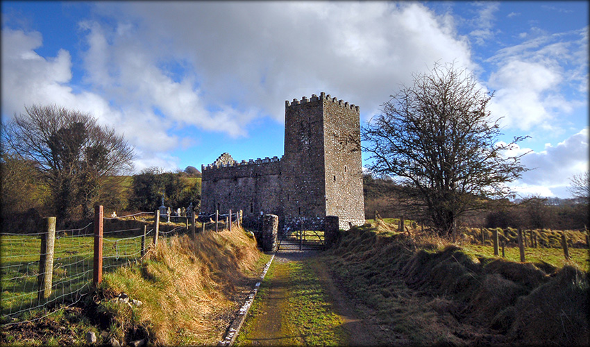
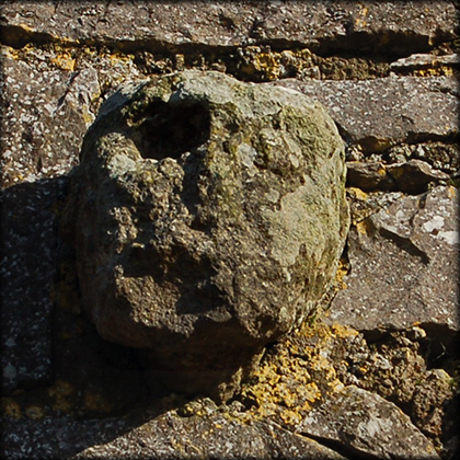
The massive tower at the west end of the church was to provide security for the clergy who lived here during these turbulent times. As you walk up the track to the church, it looks very stocky and apart from the crenellations a quite plain looking building. But there are a few very interesting surprises, the most notable of these being the sheela-na-gig sitting above the first window of the northern wall. The sheela is in a squatting position with her arms around her legs holding her vulva open. Sheela na gigs are grotesque looking female figures (hags), usually skull-headed and displaying their vulva. Though now mostly found in Ireland and Britain they are thought to have originated in France. Immediately above the northern door is the head of an ecclesiastic and on the western wall of the tower is another head carving.
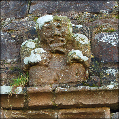
Head on the west wall of the tower
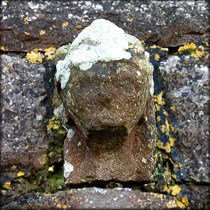
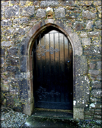
Ecclesiastic head above northern door
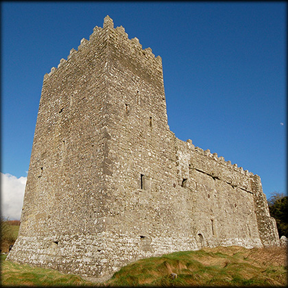
From the south-west corner
Situated: From Dublin take the M4 West. At Kinnegad change to N4 for Mullingar. At exit 11 take the R394 north. At Crookedwood take a right turn, signposted 'St Munna's Church' drive down here for about 2 kilometres the church is on your right
Discovery Map 41: 4856 6148. Last visit February 2011.
Longitude: 7° 15' 59" W
Latitude: 53° 36' 3" N
Photos: Jim Dempsey and José Gutiérrez.
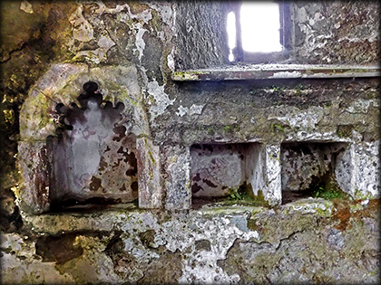
Piscina and Aumbries